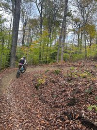
GET OUT THERE AND GO FOR A RIDE
Since 2013, more than 60 miles of trails for mountain bikers, hikers, and skiers have been developed on National Forest and private land in and around Rochester, VT.
Local Trail Maps
Use this map below, powered by TRAILFORKS.
HEART OF THE GREENS LOOP
VELOMONT TRAIL: HEART OF THE GREENS LOOP
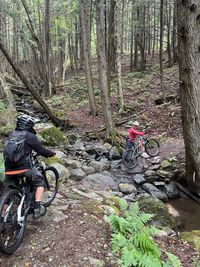
The Heart of the Greens Loop is the first completed multi-day segment of the Velomont Trail, a collaborative project of several Vermont organizations with the goal of connecting a series of single track trails and backcountry huts along the entire length of Vermont. This loop captures the Velomont vision and turns it into reality: connect rural communities to each other and to public open space via purpose-built single track trails.
Distance: 38.3 miles –– Climb: 5,930 ft
Descent: -5,930 ft –– High Point: 2,570 ft
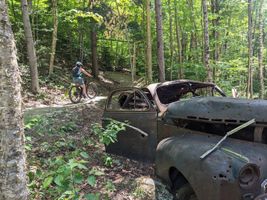
TUNNEL RIDGE LOOP
TUNNEL RIDGE BIG LOOP
Tunnel Ridge Big Loop is a 12 mile popular intermediate route located near Rochester Vermont. This is a mountain bike only route and includes 6 trails.
Distance: 11.8 miles –– Climb: 1,888 ft
Descent: -1,889 ft –– High Point: 2,571 ft
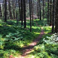
OLD GENTS
FREEHUB MAGAZINE: OLD GENTS
This Tom Lepesqueur masterpiece perfectly blends natural features such as rock rolls with well-built, midsize jumps that really work together to create a great rhythm. As seen in Freehub Magazines Vermont Photobook.
Distance: 2,831 ft
Descent: -325 ft
High Point: 1,452 ft
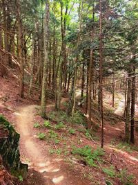
PERSPIRATION TO CHITTY BANG BANG
PERSPIRATION TO CHITTY BANG BANG LOOP
A fast, flowy, and gorgeous machine-built ride that’s mostly downhill from the Chittenden Brook hut. Climb back up the road or convince your friends to give you a ride back to the top and do it again.
Distance: 4.3 miles –– Climb: 667 ft
Descent: -666 ft –– High Point: 2,055 ft